1 Venoco Inc., Carpenteria, Calif., drilled a discovery at its #14-1 Bonaire in Section 14-18n-1w, Glenn County, Calif. The 5,860-ft. well tested at 1.4 million cu. ft. of gas a day from Forbes perforations between 5,189-96 ft. The discovery is about 0.75-mile north of the abandoned one-well Angel Slough Field. Venoco has nearby production from Afton Field, in Section 3 of the same township and range, according to IHS Energy. 2 A couple of wildcats have been permitted in Kern County, Calif. Ansbro Petroleum Co. LLC, Denver, plans to drill the #85X-33 Poblano in Section 33-30s-28e to an unreported depth. The location is 2.75 miles southwest of Mountain Field and 1.75 miles east of Greenfield, Calif. Not far away in Section 22-29s-29e, independent Stockdale Oil & Gas Inc. of Bakersfield has scheduled the #100 Siegfus, also to an unreported depth. That exploratory effort is immediately north of Edison Field and 0.75-mile south of Ant Hill Field. 3 Resource Development Group, which was formed to complete an environmental impact statement, has recommended a major drilling program to look for Wasatch and Mesaverde gas about 50 miles south of Vernal, Utah, in the Uintah Basin. Forming members are Rosewood Resources Inc., Dallas; Dominion Exploration & Production Co., Houston; McElvain & Associates, Denver; and Westport Oil & Gas Co. LP, Denver. The proposal covers 79,900 acres in the Atchees Wash area of southeast Uintah County in townships 11s-22e, 11s-23e, 11s-24e, 12s-23e and 12s-24e, and most of the government land is administered by the Bureau of Land Management. If the environmental impact statement is accepted, the group could drill up to 423 wells at a rate of 14 to 40 wells a year with access by 127 miles of new road, according to IHS Energy. 4 EOG Resources Inc., Houston, is drilling toward Entrada at 9,100 ft. on the southeastern flank of the Uinta Basin at its #1-34 Horse Point-State in partial section 34-15.5s-23e in Grand County, Utah, about 34 miles north of Cisco. The wildcat is a mile east of the southern producer in Fence Canyon Field, where the #3 Fence Canyon Unit has produced 1.02 billion cu. ft. of gas from Dakota between 7,978 and 8,010 ft. and from Buckhorn from 8,079 to 8,106 ft. 5 Headington Oil LP, Dallas, plans a horizontal wildcat to Red River from a surface location in Section 7-14n-58e, a nonproducing township in southeastern Dawson County, Mont. The #24X-7 BR is scheduled to 20,000 ft. with a vertical depth of 10,000 ft. The nearest production came from currently nonproducing Krug Creek Field nine miles north-northwest. The discovery well in that field produced from Red River before it was shut in, says IHS Energy. 6 Upper Cretaceous Lance sand is the target for the remote #1-2-BMB-Gage wildcat planned by Cardinal Construction LLC of Billings, Mont. The well is in Section 2-7n-27e in the Bull Mountains Basin, about 11 miles east-southeast of Roundup in south-central Musselshell County. The well is scheduled to 1,999 ft. with a 30-ft. core to be cut between 800 and 900 ft. There is no Lance production currently in Montana and the nearest Cretaceous-age production is 50 miles southwest in the Big Coulee/Hailstone Dome area. A 1986 Dakota discovery about three miles northeast was abandoned after pumping one bbl. of oil and seven bbl. of water per day from a fractured zone between 5,778 and 5,884 ft. 7 Yates Petroleum Corp., Artesia, N.M., completed a discovery about 35 miles southeast of Rock Springs, Wyo., in the Washakie Basin flowing 999,000 cu. ft. of gas and 27 bbl. of water a day. The #1 Legend-Federal, in Section 22-15n-99w, Sweetwater County, produces from several fractured Lewis and Almond zones between 12,687 and 14,265 ft. The wildcat is an obligation well for the Legend Federal Exploratory Unit. It's nearly 1.5 miles southeast of the company's #1 Orange Blossom Special, a discovery in Section 16 of the same township and range. That well tested at 750,000 cu. ft. of gas a day from Lance perforations. 8 Cabot Oil & Gas Corp., Houston, found prospective gas pay in Lance, Lewis and the Almond section of Mesaverde at its #10-28 Wind Dancer Unit, in Section 28-24n-96w, northeastern Sweetwater County, Wyo. The well tapped gas in Lance at 8,680 ft., 9,094 ft. and 9,755 ft.; Lewis at 10,856 ft., 10,917 ft. and 10,980 ft.; and Almond at three intervals between 11,296 and 11,423 ft. Although no test figures were reported, the well generated a five- to six-ft. flare while drilling through Lewis and a 10- to 15-ft. flare in Almond. Cabot has 11,000 acres in the area, and a successful test would generate offset wells. 9 Stone & Wolf LLC, Sheridan, Wyo., hit on a wildcat 24 miles northeast of Gillette in eastern Campbell County, Wyo. The SW #19-16 DK, in Section 19-47n-69w, tested 60 bbl. of oil and 80,000 cu. ft. of gas a day from Mowry between 7,720 and 7,820 ft. In its first four months online, the well produced 3,188 bbl. of oil and nearly 3 million cu. ft. of gas with no water. The company has several Mowry producers in the surrounding area, according to IHS Energy. 10 In a rare exploratory effort in South Dakota, Denver-based independent Peter K. Roosevelt will drill the #10-36 State in Section 36-9s-2e, on the Black Hills uplift in western Fall River County. The target is Triassic Spearfish at 2,050 ft. The well is a west offset to the company's #9-36 State in Section 36 of the same township. That test went to Newcastle (Muddy) at 1,000 ft. Nearby production is from Leo in Porter Ranch and Edgemont fields. 11 Cabot Oil & Gas Corp. has re-permitted the #1-7 Sabertooth, a directional deep wildcat off the eastern flank of the Paradox Basin some six miles west-northwest of Naturita in Montrose County, Colo. The well is projected to a true vertical depth of 16,500 ft. It will be drilled toward the northeast, entirely within Section 7-46n-16w, to evaluate Cutler, Honaker Trail and La Sal potential. The company has three more wildcats staked on the Sabertooth lease west and northwest and it is developing the Double Eagle/Andy's Mesa field area 12 to 14 miles north with Tom Brown Inc. Producing formations there are Cutler, Honaker Trail, Ismay and La Sal, according to IHS Energy. 12 Gunnison Energy Corp., Denver, has moved in a rig to begin drilling 11 coalbed-methane wildcats permitted in Delta County, Colo. The first well is the #1 Lone Pine in Section 25-12s-91w, about 10 miles northeast of Paonia. It will test Cameo and Corcoran (Mesaverde) coal between 2,800 and 4,950 ft. There is no current production from the township, but Floating Lake Field, a two-well gas field producing from Mesaverde, is four miles southwest in Gunnison County. 13 Griffen Management 2001 LLC, Roggen, Colo., completed a discovery about 18 miles northeast of Byers in Adams County in the Denver-Julesburg Basin. The #1 Susie tapped J-sand at 6,150 ft. in Section 12-2s-59w for an unreported amount of gas and a small amount of condensate. The well was cased to 6,250 ft. The company recently permitted two offsets to the well, which will be drilled by U.S. Exploration Inc., Denver. A half-mile north, a well tested at 1.8 million cu. ft. of gas a day from J-sand in 1971. 14 Gainesville, Texas, independent Kaler Oil Co. claimed an unreported amount of gas at a 4,350-ft. discovery offsetting the company's Little Bear Field discovery well on the Cambridge Arch. The 14-31 Lutz is in Section 31-2n-36w in southeastern Dundy County, Neb. 15 ConocoPhillips Alaska has asked the state of Alaska to retain seven leases it holds in the Kuparuk River Unit on the North Slope because the leases contain natural gas, although the company can't produce the field due to lack of market for the gas. The leases are near the southern tip of the Kuparuk River Unit between the Tarn and Meltwater developments. 16 Aurora Gas LLC, Houston, has started producing its Lone Creek discovery on the west side of Cook Inlet, some 40 miles west of Anchorage. Gas is flowing at a rate of 5 million cu. ft. a day from the #1 Lone Creek in Section 18-12n-11w, Seward Meridian. The gas comes from a 53-ft. Tertiary Upper Tyonek interval at a depth of about 2,400 ft. Anadarko Petroleum and Arco Alaska Inc. originally completed the well for 10.6 million cu. ft. of gas a day, but shut in the well on completion. Aurora acquired the lease when it picked up all of Anadarko's Cook Inlet assets. Currently, Lone Creek is a one-well field, but the company has scheduled the #3 Lone Creek in Section 8 of the same township and range.
Recommended Reading

Ameresco Starts RNG Production at Republic Services Landfill
2024-02-20 - Located in Danville, Illinois, the RNG facility is capable of processing 2,000 standard cubic feet of gas per minute.

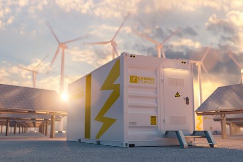
EnCap Launches Bildmore to Invest in Hard-to-finance Clean Energy
2024-03-11 - In an effort to support hard-to-finance clean energy projects, EnCap Energy Transition Fund is launching Bildmore, a platform expected to invest in up to 15 third-party battery storage, solar and other energy transition projects per year.
RWE Boosts US Battery Storage with Three Projects
2024-02-14 - The three projects—two in Texas and one in Arizona—will lift RWE’s total U.S. battery storage capacity to about 512 megawatts.
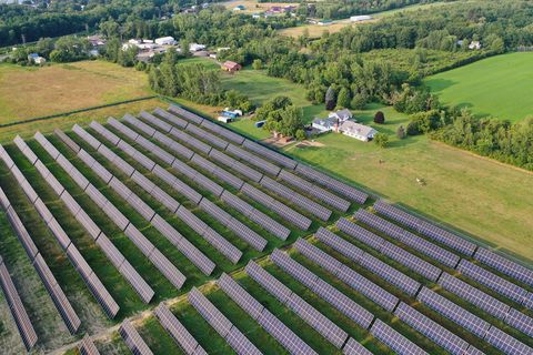
RIC Energy Sells 20 MW of Solar Plants to Luminace
2024-03-04 - RIC Energy says the facilities are expected to provide 100% clean energy to more than 5,000 homes participating in the utilities’ community solar programs.
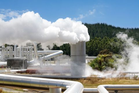
Devon Energy Leads $244MM Funding Round for Fervo Energy
2024-02-29 - The funds will finance Fervo Energy’s next phase of growth as it puts to use oil and gas technology and techniques to scale geothermal energy.