?U.S. Coast Guard’s fleet, the cutter Healy, set sail from Barrow, Alaska, in August to begin a three-week survey of the continental shelf north of Alaska. The Coast Guard reports that scientists on the vessel will also map the ocean floor.
The data collected could eventually be used for oil and gas exploration. In July, the U.S. Geological Survey reported that the area north of the Arctic Circle may hold as much as 90 billion barrels of oil and 1,669 trillion cubic feet of gas, or roughly 13% of the world’s total undiscovered oil and 30% of the undiscovered gas.
A Coast Guard spokesman says scientists on Healy will create a 3-D map of the Arctic Ocean floor in a relatively unexplored area known as the Chukchi borderland during the voyage.
Healy will set sail again this month, when it will be joined by Canadian scientists, who will help collect data to determine the thickness of sediment in the region. That is one factor a country can use to define its extended continental shelf.
“These are places nobody’s gone before, in essence, so this is a first step,” says Margaret Hays, director of the oceanic affairs office at the U.S. State Department. The data may provide information about future oil and gas sources for the U.S., she adds.
This will be the fourth year in which the U.S. has collected data to define the limits of its continen?tal shelf in the Arctic. Hays said the Alaskan continental shelf may lie up to 600 nautical miles from the coastline, far beyond the 200-mile limit where coastal countries have sovereign rights over natural resources.
The first cruise will be led by the University of New Hampshire’s Joint Hydrographic Center, with support from the National Oceanic and Atmospheric Administration. The USGS will lead the second expedition for the U.S., while Natural Resources Canada will lead the Canadian team.
Recommended Reading
Air Liquide Eyes More Investments as Backlog Grows to $4.8B
2024-02-22 - Air Liquide reported a net profit of €3.08 billion ($US3.33 billion) for 2023, up more than 11% compared to 2022.
Chevron Adds to Carbon Capture Tech Portfolio with ION Investment
2024-04-04 - Chevron New Energies led a funding round that raised $45 million in Series A financing for ION Clean Energy, according to a news release.

Green Swan Seeks US Financing for Global Decarbonization Projects
2024-02-21 - Green Swan, an investment platform seeking to provide capital to countries signed on to the Paris Agreement, is courting U.S. investors to fund decarbonization projects in countries including Iran and Venezuela, its executives told Hart Energy.
TechnipFMC Eyes $30B in Subsea Orders by 2025
2024-02-23 - TechnipFMC is capitalizing on an industry shift in spending to offshore projects from land projects.
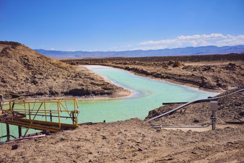
M4E Lithium Closes Funding for Brazilian Lithium Exploration
2024-03-15 - M4E’s financing package includes an equity investment, a royalty purchase and an option for a strategic offtake agreement.