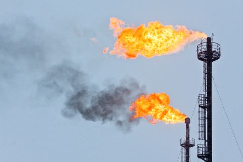
PowerView is a new application that delivers highly unified geophysical and geological (G&G) interpretation and on-the-fly seismic processing in a common, multidiscipline environment.
.jpg) | |
| PowerView allows users to overlay multiple complementary data types. (Image courtesy of Halliburton) |
As a result, PowerView can significantly shorten multidomain workflow cycle times, improve the accuracy of data analysis and interpretation, and achieve a superior understanding of highly complex subsurface environments.
PowerView not only integrates standard functionality from seismic interpretation, geology and geotechnical mapping, but it incorporates a growing range of technological breakthroughs, including concurrent cross-domain views, a “roving” window that computes and co-renders seismic attributes on the fly, a robust horizon auto-tracking algorithm, and a seismic cache option, enabling asset teams to share seismic data in advance and display them immediately during interpretation.
Recommended Reading
Green Swan Seeks US Financing for Global Decarbonization Projects
2024-02-21 - Green Swan, an investment platform seeking to provide capital to countries signed on to the Paris Agreement, is courting U.S. investors to fund decarbonization projects in countries including Iran and Venezuela, its executives told Hart Energy.
TPG Adds Lebovitz as Head of Infrastructure for Climate Investing Platform
2024-02-07 - TPG Rise Climate was launched in 2021 to make investments across asset classes in climate solutions globally.

JMR Services, A-Plus P&A to Merge Companies
2024-03-05 - The combined organization will operate under JMR Services and aims to become the largest pure-play plug and abandonment company in the nation.

Chord Energy Updates Executive Leadership Team
2024-03-07 - Chord Energy announced Michael Lou, Shannon Kinney and Richard Robuck have all been promoted to executive vice president, among other positions.

First Solar’s 14 GW of Operational Capacity to Support 30,000 Jobs by 2026
2024-02-26 - First Solar commissioned a study to analyze the economic impact of its vertically integrated solar manufacturing value chain.