In the ’80s, a typical marine seismic spread consisted of two streamers and two sources. Source and receiver group positions were calculated based on nominal offsets. Streamer compasses were used to calculate streamer shape and finally receiver group positions. Navigated tailbuoys were not used. Navigation processing could, in principle, not be solved by traditional surveying techniques as the system was singular. The processing of the navigation data was performed in the office and could in some instances take more than 6 months.
The period from the late ’80s to early ’90s introduced laser, acoustic range observations and navigated tailbuoys. Vessel, source and streamers were tied together with observations, and the streamers became part of a closed traverse. Navigation processing could be solved by traditional surveying techniques, and redundant observations became part of the calculations. The processing turnaround was greatly improved by bringing the navigation processing department onboard. By the end of this period some vessels could tow six streamers, and multi-vessel operations could include up to 12 streamers.
The race for improved productivity of marine seismic acquisition continues at a fast pace. It is only a matter of time before towing 20 streamers of 26,248 ft (8,000 m) length is a reality. Also, it might be a requirement to tow the streamers with a separation of 82 ft (25 m) to obtain higher spatial resolution.
The future operational challenges will definitely have a strong focus on positioning accuracy and integrity. Accuracy is dependent on the quality of the observations, observation geometry and type of estimator used to perform the calculations. Least square estimator (LSE) is a typical estimator. Integrity is a matter of robustness and time, i.e., when or how fast is a robust estimate of your position available?
Several current integrated navigation systems and post-processing facilities are more than 10 years old. In general, the integrated navigation systems and post-processing systems are based on the Kalman filter approach and traditional data snooping. For streamer modeling, the polynomial fit is still used. A traditional 10-streamer network can contain 300 nodes, including compasses. This setup will produce 800 to 1,200 observations. Three hundred nodes implies 600 unknowns, which means that the level of redundancy is 1.3 to 2. At present, no navigation processing system is able to produce final source/receiver position in real time.
What position control is required to tow 20 streamers 5 miles (8 km) with a separation of 82 ft (25 m)?
Eighty-two-ft streamer separation implies a grid-cell size of 20 by 20 ft (6.25 by 6.25 m). Maximum error of any source and receiver position to be used in a grid-cell of size 20 by 20 ft should not exceed 10.25 ft (3.125 m). A maximum error of +/- 9.8 ft (+/- 3 m) ensures that you are still within the cell. A land surveying and statistical rule of thumb states that the maximum error is three times the standard deviation. In other words, we will need to position any seismic source and receiver within an accuracy of +/-3.28 ft (+/-1 m).
Towing 20 streamers at a streamer separation of 82 ft requires full control of the spread 100% of the time. In this respect it will not only be difficult but may also be dangerous to establish generic models that shall reproduce the streamer in any form or circumstance. The answer is to have enough positioning nodes that are evenly spread out.
A good provisional estimate of positions will reduce the number of iterations in the adjustment calculations. Given that the level of redundancy is high enough, a good provisional estimate of positions will also make it possible to perform a priori identification of gross errors.
The demand for increased productivity in the seismic industry has led to some serious challenges, both operational and health, safety and environmental-related. It is imperative to be in control of all streamers at all times.
Geograf’s staff is processing the most demanding navigation datasets using our own proprietary state-of-the-art software. We are currently in the process of developing the next generation of processing software solutions.
As an example, our software solution is capable of handling a network consisting of 10,000 observations and 2,200 unknowns and final position processed well within 2 seconds. That means that all source and receiver positions are ready and defined before the next shot is fired.
The seismic industry has faced serious challenges in the past and handled them with innovative solutions. Towing 20 streamers of 26,248 ft length with a streamer separation of 82 ft is yet another challenge. We believe that the most important and critical factor in this setup will be to control the streamers in real time.
Jacob Loga is business development manager of Geograf AS in Sandnes, Norway, Jacob.loga@geograf.no. The company specializes in quality control and processing of navigation services to the seismic acquisition industry.
Recommended Reading
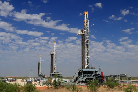
TPH: Lower 48 to Shed Rigs Through 3Q Before Gas Plays Rebound
2024-03-13 - TPH&Co. analysis shows the Permian Basin will lose rigs near term, but as activity in gassy plays ticks up later this year, the Permian may be headed towards muted activity into 2025.

TotalEnergies Acquires Eagle Ford Interest, Ups Texas NatGas Production
2024-04-08 - TotalEnergies’ 20% interest in the Eagle Ford’s Dorado Field will increase its natural gas production in Texas by 50 MMcf/d in 2024.
Repsol to Drop Marcellus Rig in June
2024-04-26 - Spain’s Repsol plans to drop its Marcellus Shale rig in June and reduce capex in the play due to the current U.S. gas price environment, CEO Josu Jon Imaz told analysts during a quarterly webcast.

Barnett & Beyond: Marathon, Oxy, Peers Testing Deeper Permian Zones
2024-04-29 - Marathon Oil, Occidental, Continental Resources and others are reaching under the Permian’s popular benches for new drilling locations. Analysts think there are areas of the basin where the Permian’s deeper zones can compete for capital.
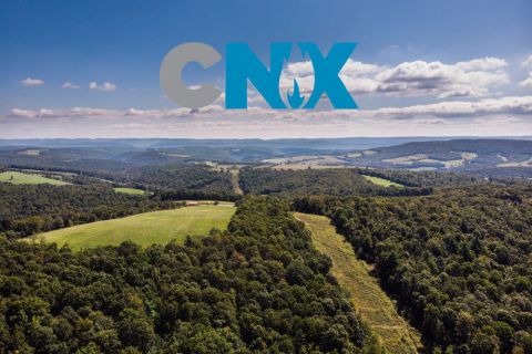
CNX, Appalachia Peers Defer Completions as NatGas Prices Languish
2024-04-25 - Henry Hub blues: CNX Resources and other Appalachia producers are slashing production and deferring well completions as natural gas spot prices hover near record lows.