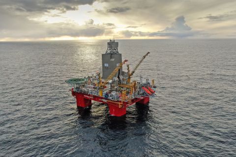
Halliburton Co. on July 17 introduced 3-D reservoir mapping, a new logging-while-drilling (LWD) capability that provides a detailed representation of subsurface structures to improve well placement in complex reservoirs.
3-D inversion, an advanced reservoir mapping process, reveals overlooked features such as faults, water zones, or local structural variations that can considerably alter the optimal landing trajectory of a well. In geosteering applications, the technology maximizes contact with oil and gas zones while mapping the surrounding formation to identify bypassed oil, avoid drilling hazards and plan for future development.
“This unique technology moves beyond layered reservoir models to full 3-D characterization of the reservoir, enabling accurate well placement,” Lamar Duhon, vice president of Sperry Drilling, said. “In complex formations, visualizing data in a 3-D environment helps operators significantly enhance reservoir understanding to drive better drilling decisions and maximize asset value.”
The 3-D capability originates from downhole measurements taken by the EarthStar ultradeep resistivity service, an LWD sensor that identifies reservoir and fluid boundaries up to 225 ft (68 m) from the wellbore. This range more than doubles the depth of detection of other industry offerings.
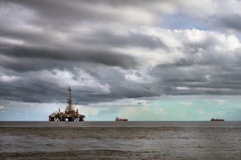
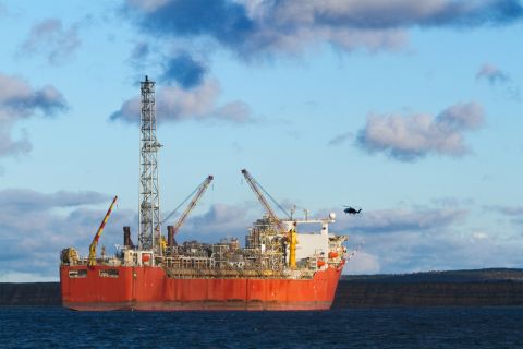
An operator in the North Sea recently deployed the 3-D capability in a field with a long history of production and water injection. The data allowed the operator to better assess the movement of reservoir fluids and visualize fault boundaries, which supported more accurate well placement and increased production.
Recommended Reading
Deadline in Trinidad and Tobago’s Bid Round Extended
2024-02-29 - Bids for the 13 shallow water blocks offshore Trinidad and Tobago are now due on May 27.
Iraq to Seek Bids for Oil, Gas Contracts April 27
2024-04-18 - Iraq will auction 30 new oil and gas projects in two licensing rounds distributed across the country.
TotalEnergies Starts Production at Akpo West Offshore Nigeria
2024-02-07 - Subsea tieback expected to add 14,000 bbl/d of condensate by mid-year, and up to 4 MMcm/d of gas by 2028.
E&P Highlights: Jan. 29, 2024
2024-01-29 - Here’s a roundup of the latest E&P headlines, including activity at the Ichthys Field offshore Australia and new contract awards.
Vår Energi Hits Oil with Ringhorne North
2024-04-17 - Vår Energi’s North Sea discovery de-risks drilling prospects in the area and could be tied back to Balder area infrastructure.